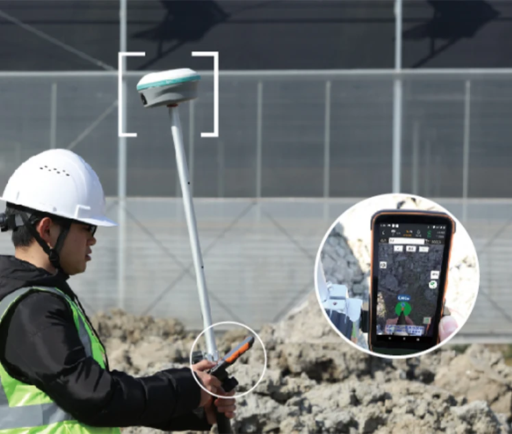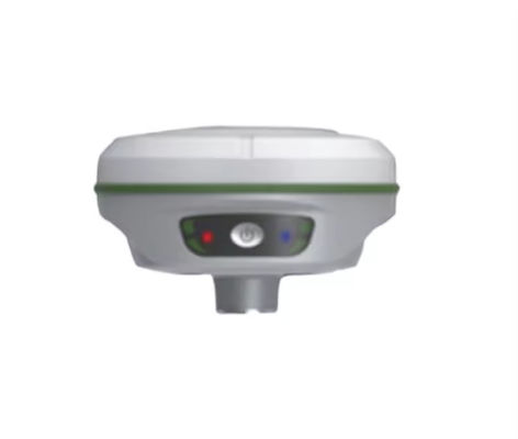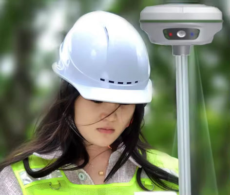

1.Realistic setting out with just one shot2.Super Inertial Navigation, Senseless Correction
3.5-star 21 frequency, 1598 channels, strong signal
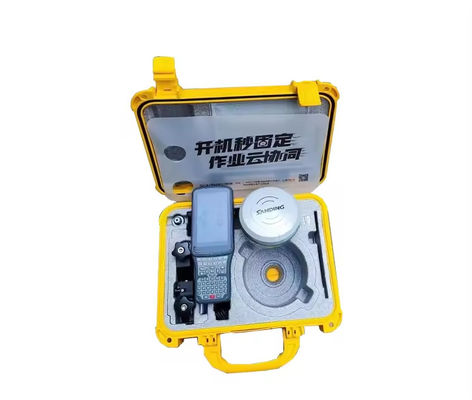
4.300000 fast charging, 18 hour battery life
5.New SOC chip, fixed in seconds upon startup
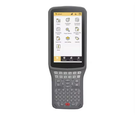
6.Layout Cloud Collaboration, Integrating Internal and External Business
7.New enhanced RTK algorithm to resist ionospheric interference
8.National permanent cors account service
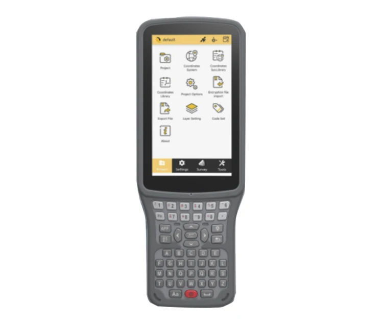
9.Pocket body, featuring the industry's first 'cloud measurement'
10.3 years of free traffic, connected immediately upon startup

Leave a Message
We will call you back soon!
 Your message must be between 20-3,000 characters!
Please check your E-mail!
SUBMIT
More information facilitates better communication.
Mr.
- Mr.
- Mrs.
OK
Submitted successfully!
We will call you back soon!
OK
Leave a Message
We will call you back soon!
Your message must be between 20-3,000 characters!
Please check your E-mail!
SUBMIT