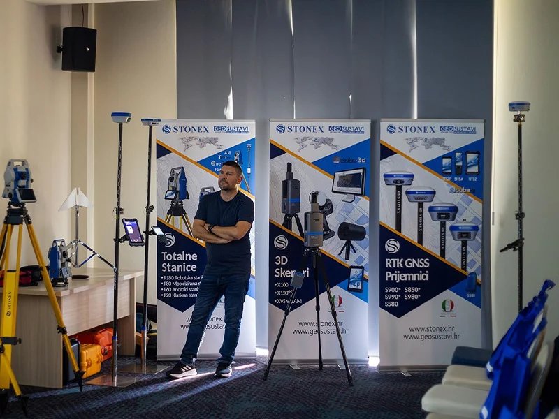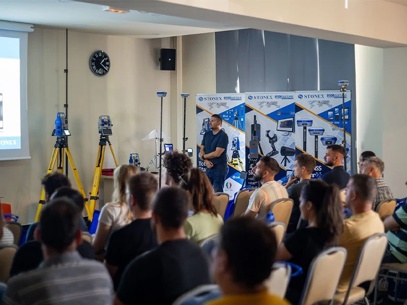


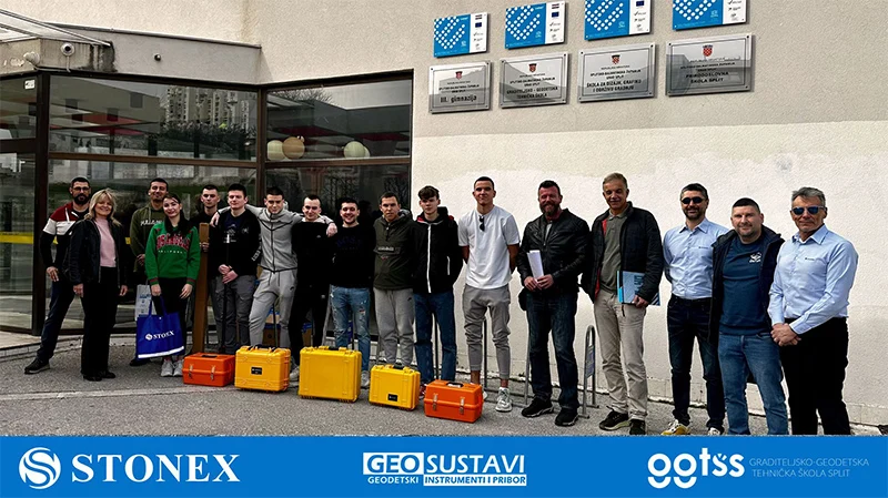
Geodetske škole imaju ključnu ulogu u pružanju učenicima potrebnog znanja i vještina u području geodezije.Integracija najnovijih
geodetskih instrumenata u takve obrazovne ustanové može značajno poboljšati iskustvo učenika i bolje ih pripremiti za primjenu u
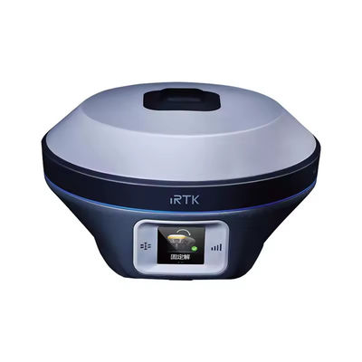
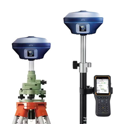
stvarnom svijetu.Najnoviji geodetski instrumenti nude napredne značajke i mogućnosti koje mogu pružiti studentima intenzivnije
iskustvo učenja.Korištenjem ovih instrumenata, studenti mogu steći praktično iskustvo u prikupljanju podataka, analizi itumačenju, što su ključne vještine u području geodezije.
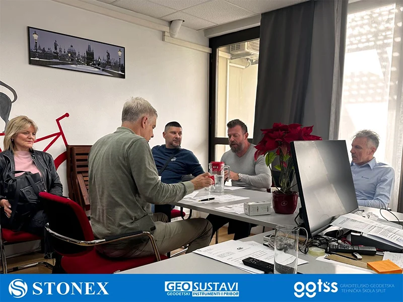
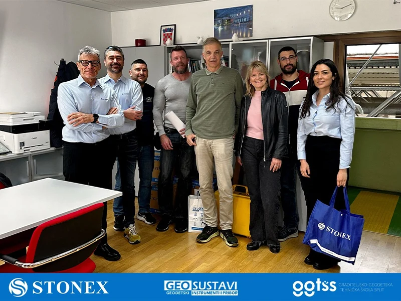
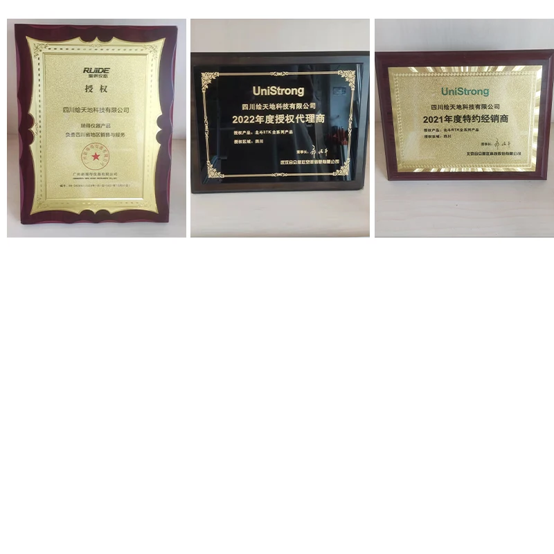
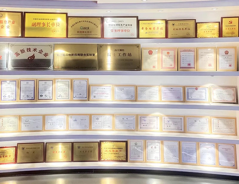
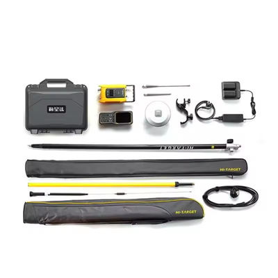
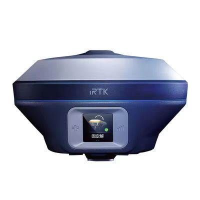
U suradnji sa STONEX S.r.l. Italija, geodetskoj školi u Splitu isporučili smo najnovije totalne stanice, teodolite i GNSS prijemnike.

Leave a Message
We will call you back soon!
 Your message must be between 20-3,000 characters!
Please check your E-mail!
SUBMIT
More information facilitates better communication.
Mr.
- Mr.
- Mrs.
OK
Submitted successfully!
We will call you back soon!
OK
Leave a Message
We will call you back soon!
Your message must be between 20-3,000 characters!
Please check your E-mail!
SUBMIT